Walk · Sakyō · Kyoto
Philosopher's Path
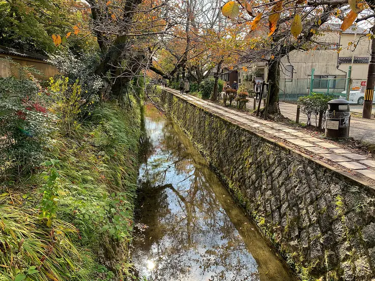
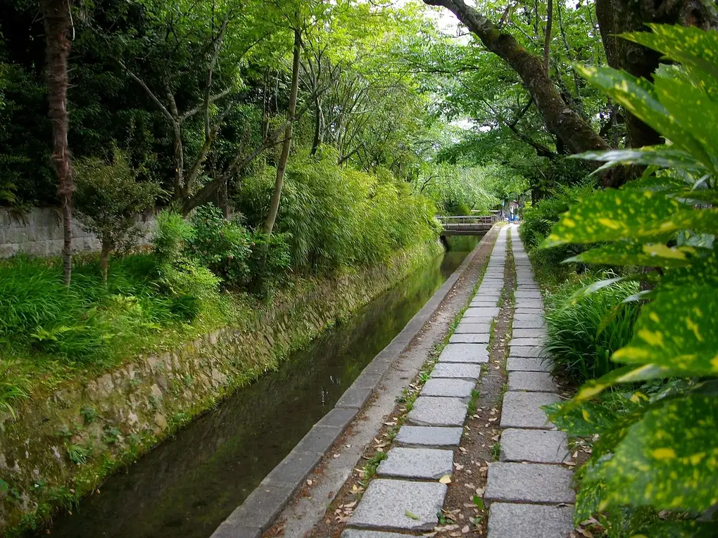
Running water, stepping stones, cherry branches over the canal
When it fits
Best in the morning · about 60 min
Your plan checks the real hours for your dates.
Where it is
Loading the map…
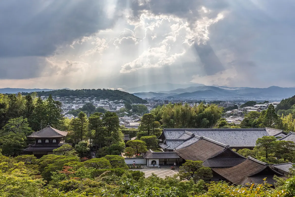
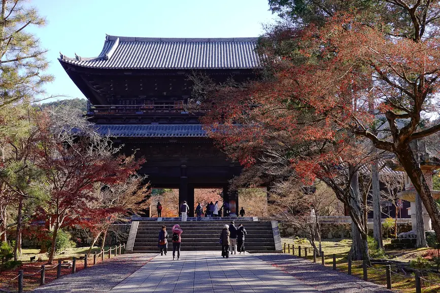
Straight-line distances: Ginkaku-ji 684 m · Nanzen-ji 1.1 km · Yasaka Shrine 2.5 km. Not travel times.
Why Aura
A two-kilometre stone path along a cherry-lined canal between Ginkaku-ji and the Nanzen-ji area, with small temples and cafés off it. Best in early April and in November; pleasant any morning.
RomanticQuietBudgetSeasonal
TodayHours to re-checkHours not in OpenStreetMap
Visit lengthAbout 60 min
WeatherOutdoorsUsed by the rain swap in Live
EffortEasy
Sources and dates (5)
- When it fits: Aura editorial estimate.
- Today: Hours not in OpenStreetMap
- Visit length: Aura estimate
- Effort: Aura estimate
- Tags are Aura editorial judgement.
Why, feel, tags and tips are Aura editorial. Hours and positions come from OpenStreetMap; prices only when read from a named source on a date. Ratings and reviews are not shown: no provider is connected in this build, and under EEA terms Google ratings may appear only inside Google’s own place card.
- Kyoto City Kyoto Kanko Navi — Tetsugaku no Michi (free, public path) · official · read 30 Sept 2026
- OSM relation/18344117 · osm · read 30 Sept 2026
If it rains
Also in this area