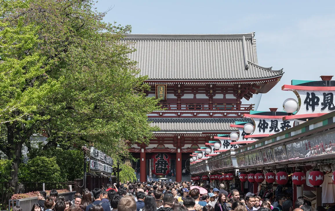
Photo coming
Photo spot · Asakusa / Sumida River · Tokyo
Azuma-bashi Bridge
River wind and the Skytree lit across the water
When it fits
Best in the evening · about 20 min
Your plan checks the real hours for your dates.
Where it is
Loading the map…
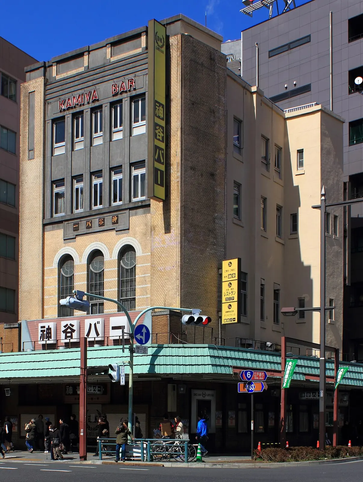
Straight-line distances: Kamiya Bar 157 m · Komagata Dozeu Honten 456 m · Sensō-ji 459 m. Not travel times.
Why Aura
The bridge linking the Sensō-ji side of Asakusa with the Skytree side of the Sumida River. A short walk from Kaminarimon, it pairs with an evening stroll after the temple.
ViewRomanticBudget
Photo tip · Aura editorial
Late afternoon to blue hour: the Skytree lies east, so the evening sun lights it from behind you · from West (Asakusa) end of the bridge or the Sumida Park riverbank just north of it, looking east
TodayHours to re-checkHours not in OpenStreetMap
Visit lengthAbout 20 min
WeatherOutdoorsUsed by the rain swap in Live
EffortEasy
Sources and dates (5)
- When it fits: Aura editorial estimate.
- Today: Hours not in OpenStreetMap
- Visit length: Aura estimate
- Effort: Aura estimate
- Tags are Aura editorial judgement.
Why, feel, tags and tips are Aura editorial. Hours and positions come from OpenStreetMap; prices only when read from a named source on a date. Ratings and reviews are not shown: no provider is connected in this build, and under EEA terms Google ratings may appear only inside Google’s own place card.
- GO TOKYO — Azuma-bashi Bridge · official · read 27 Sept 2026
- OSM way/554057521 · osm · read 27 Sept 2026
If it rains
Also in this area